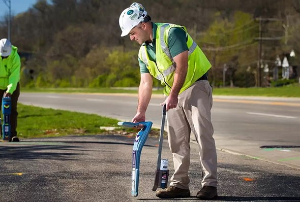
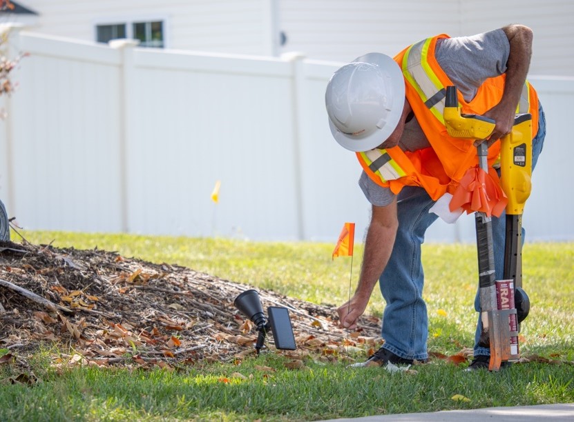
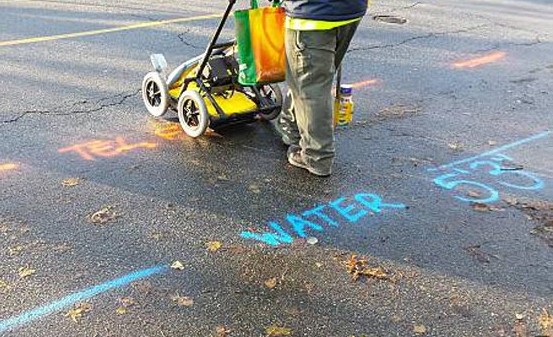
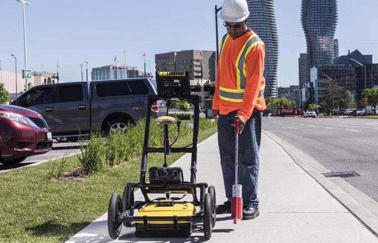
Private Utility Locating Services

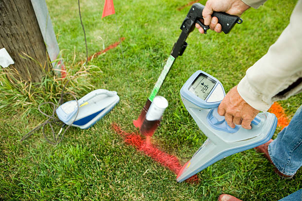
Approximately 65% of on-site utilities for most construction projects or facilities are privately owned, meaning that 811 One Call services cannot locate them. GPRS offers detailed digital and PDF utility maps for all utilities on site, both public and private, including depth information. We can also export this utility data into various drawings, maps, and … Read more

Facility Mapping Services

GPRS is dedicated to “Intelligently Visualizing The Built World®.” We deliver comprehensive mapping services for both above and below ground facilities and infrastructure, serving the construction, facility management, engineering, architecture, and manufacturing industries. Our offerings include precise 3D BIM models, highly accurate utility locating and concrete imaging using GPR, NASSCO-certified Video Pipe Inspection (CCTV) reports, … Read more

Directional Drilling Clearance

When installing fiber and telecom lines, it is crucial to know where to drill to avoid hitting existing underground utilities. Cross bores resulting from trenchless technology can jeopardize utility infrastructure and community safety. Ensure your work is safe and damage-free with pre and post-installation cross bore inspections that accurately capture underground conditions before drilling and … Read more

Environmental Due Diligence

GPRS supports Phase I and Phase II Environmental Site Assessments (ESAs), aiding in due diligence before a sale or monitoring potential contamination for regulatory purposes. We provide precise utility locates that map preferred pathways for contaminants and offer detailed and highly accurate conceptual site models (CSM) for 3D site visualization.

One Call Locating Services

Calling 811 before you dig is a legal requirement. One Call will connect you with public utility contractors to locate all public utilities near your excavation site. However, One Call does not cover private utility lines on site or provide depth information for public utilities. GPRS specializes in locating both public and private utilities, offering … Read more

UST Locating

Identifying underground storage tanks (USTs) on a site is essential for mitigating risks before excavation. Our SIM-certified Project Managers can easily locate and map abandoned tanks and lines. Additionally, our Mapping & Modeling team can produce detailed maps and conceptual site models (CSM) of your facilities for effective risk management and documentation.

Field Note Report

GPRS offers a complimentary PDF, .KMZ file, and SiteMap® Personal subscription with every outdoor utility locate. Our Project Managers use the data from your utility field markings to create detailed, layered utility maps within SiteMap®. Our in-house Mapping & Modeling Team can provide TruBuilt plan views and comprehensive 3D BIM or Conceptual Site Models (CSM), … Read more

Soil Boring Clearance

When conducting due diligence for property transfers or investigating environmental hazards in contaminated areas and brownfields, environmental consultants need to perform soil borings. Knowing the location of underground utilities and features before drilling helps prevent additional damages and mitigate risks in hazardous situations.

Concrete Scaning Services

Our GPRS Project Managers offer GPR scanning services to assess critical slab details for structural engineers. This includes concrete cover, overlay thickness, concrete depth, and dowel placement. No matter the site size or scope, we’re equipped to comprehensively evaluate your concrete structure.

Vacuum Excavation

Vacuum excavation, the cutting-edge land excavation technology Vacuum excavation, the cutting-edge land excavation technology Vacuum excavation, the cutting-edge land excavation technology, utilizes kinetic energy in a high-velocity air stream to penetrate and break up soil for underground utility work. It offers precision in utility locating while minimizing the risk of harming tree roots, pipes, and … Read more